






Aldabra Atoll is a remote Seychelles conservation entry, not a city. The reason to care is giant tortoises, coral islands, strict access, and one of the Indian Ocean landscapes that still feels far from ordinary travel.
Do not visit Aldabra Atoll expecting every worthwhile stop to be close together or easy to improvise. Do the practical reading of Aldabra Atoll first: hours, routes, weather, crowds, and how far the neighborhoods really sit from one another. For Aldabra Atoll, group stops tightly, verify hours, and use a ride when transit, darkness, or neighborhood conditions make that wiser. If the main interest is one nearby site, it may be better to treat Aldabra Atoll as a base rather than the whole destination.
Current conditions and the practical reference material that helps turn the saved places into a trip.
7-day forecast from Open-Meteo. UV badges flag days when sun protection matters (3 and above is moderate; 8 and above is risk territory for unprotected fair skin within 30 minutes).
About 75% of the year's rain falls in these months. Typical highs around 28°C, lows around 28°C.
About 26mm of rain a month, against 108mm in the wet season.
Public holidays from Nager.Date.
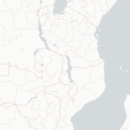
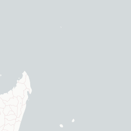
Aldabra, the world's second-largest coral atoll, is located east of the continent of Africa. It is part of the Aldabra Group of islands in the Indian Ocean that are part of the Outer Islands of the Seychelles, with a distance of 1,120 km (700 mi) southwest of the capital, Victoria on Mahé Island. Initially named by Arab seafarers for its harsh environment, Aldabra became a French colony dependency in the 18th century, leading to the exploitation of its natural resources, particularly giant tortoises. After passing through British hands, Aldabra faced potential military use in the 1960s, but international protests resulted in its protection. The atoll boasts unique geography, featuring the world's largest raised coral reef and a large shallow lagoon. Aldabra's history involves human impact, including failed agricultural ventures.
The links below support the changing or licensed reference material on this page. Personal notes and ordinary geographic facts are not footnoted individually.
Monthly highs, lows, rainfall — long-term averages, NASA POWER.
Maps, image licenses, and the full dataset registry are listed in site credits.