



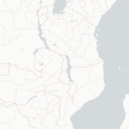


Visit Kasese when the Rwenzori Mountains are the point. The town is the practical base for mountains, trekking logistics, equatorial-western Uganda routes, and park access. It works for travelers who are building around landscape and guided mountain movement, not a city break.
Do not visit Kasese without checking park conditions, permits, transport, and trekking plans. The mountains decide the trip. If you are not going into the Rwenzori area, Kasese is probably a transit stop rather than a destination.
Current conditions and the practical reference material that helps turn the saved places into a trip.
7-day forecast from Open-Meteo. UV badges flag days when sun protection matters (3 and above is moderate; 8 and above is risk territory for unprotected fair skin within 30 minutes).
Typical highs around 27°C, lows around 17°C. The wettest months are Aug-Nov.
Public holidays from Nager.Date.
The links below support the changing or licensed reference material on this page. Personal notes and ordinary geographic facts are not footnoted individually.
Maps, image licenses, and the full dataset registry are listed in site credits.
Monthly highs, lows, rainfall — long-term averages, NASA POWER.