Lincoln
 +1
+1Holiday Inn Express Lincoln Downtownhotel
 +1
+1Blue Sushi Sake Grill - Haymarketrestaurant

The Lincoln Marriott Cornhusker Hotelhotel
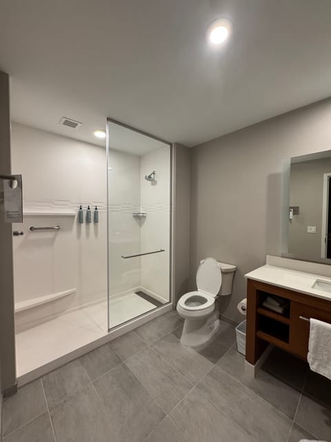 +1
+1Residence Inn by Marriott Lincoln Downtownhotel
 +2
+2The Scarlet, Lincoln, a Tribute Portfolio Hotelhotel
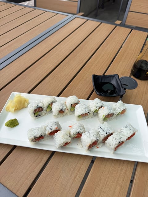 +2
+2Shokuninrestaurant
 +1
+1Panda Express Lincolnrestaurant
Nebraska: The Good Life | Nebraska: The Good Life
Why visit
Lincoln is useful as a real-life anchor in Nebraska: campus energy, downtown food, work ties, and easy airport or road logistics. It is not a conventional tourist city, but it can matter because the trip is personal.
When to avoid
Visiting Lincoln during major holidays such as Thanksgiving and Christmas can present challenges due to increased traffic and potential inclement weather conditions. The winter months from December to February are particularly challenging, with snow and ice creating hazardous road conditions. Additionally, popular events and festivities during the holiday season can lead to crowded attractions and limited availability for accommodations. It is advisable to plan your trip carefully and allow for extra time when Visiting Lincoln during holiday periods to mitigate potential travel disruptions.
.svg)