Nakhodka
RussiaDfa


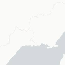






© OpenStreetMap, CARTO
|Н|а|х|о|д|к|а| | ||| | |о|к|н|о| |в| |Т|и|х|и|й| |о|к|е|а|н| ||| |N|a|k|h|o|d|k|a|,| |t|h|e| |w|i|n|d|o|w| |t|o| |t|h|e| |P|a|c|i|f|i|c|
Why visit
Nakhodka is rarely on visitor itineraries, but those who do come find dramatic Pacific scenery, the Brother and Sister Rocks rising from the bay, hiking on Mount Sestra, and quiet beaches at Livadiya. The Nakhodka City Museum traces local history from indigenous Udege peoples to Soviet shipbuilding. Nearby, the Lazovsky Nature Reserve protects Amur leopards and tigers, booking a guided trip is the only realistic way in. Best paired with a Vladivostok visit rather than as a standalone destination.
When to avoid
Russia is currently subject to broad travel restrictions and sanctions, check your government's advisories carefully and confirm whether your insurance still covers travel there. Western credit cards no longer work. Bring cash and budget for currency hassles. Photography of the port, oil terminals, and military facilities is strictly forbidden. Winters are bitterly cold with sea ice in the bay. The city has a rough industrial edge in places, stick to central districts at night.
.svg)