Palo Alto

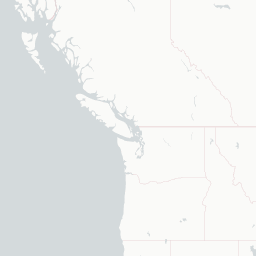







© OpenStreetMap, CARTO
"Where the future is invented" | An informal Silicon Valley adage
Why visit
Visit Palo Alto for literature, bookshops, and universities, markets, streets, food, and public squares, landscape, water, gardens, and nearby routes. In Palo Alto, the strongest material is where museums, streets, religious buildings, markets, performance spaces, food, or nearby landscapes explain the surrounding region. A good itinerary should stay selective. For Palo Alto, choose the anchor first. The cafe, market, church, gallery, or evening event should follow from that location. That restraint helps Palo Alto feel like a place rather than a sequence of obligations. Day trips from Palo Alto work best when they change the reader's understanding of the base, rather than only the mileage.
When to avoid
Lodging is expensive year-round, conferences and graduation drive prices into the hundreds. Wildfire smoke can degrade air quality from August to October. Avoid driving Highway 101 at rush hour. The Bay area's fog can chill summer evenings sharply, always pack a layer. Use Palo Alto with practical movement built into the plan from the start. A practical day in Palo Alto keeps nearby stops together and assumes that smaller sites may not keep generous hours.
