1 place · 1 visited
See these as a focused list: Things to do in Tarragona →
Part Alta, Part Baixa, tot Tarragona | High Part, Low Part, all Tarragona
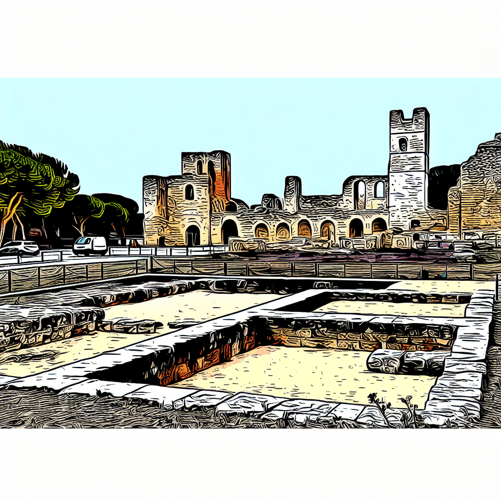
Tarragona gives the Catalan coast Roman ruins, old streets, beach edges, seafood, and monastery or delta day trips nearby. It works when Barcelona should not absorb the whole northeast Spain route.
Tarragona, Spain, typically experiences its hardest travel conditions during the peak summer months of July and August. This period is characterized by extreme heat, crowded major sights, and higher prices for accommodations. Visitors may also encounter difficulty securing restaurant reservations and experiencing long wait times at major sites. Travelers seeking a more relaxed and budget-friendly experience may consider avoiding these months and opting for shoulder seasons like spring or autumn.
Current conditions and the practical reference material that helps turn the saved places into a trip.
7-day forecast from Open-Meteo. UV badges flag days when sun protection matters (3 and above is moderate; 8 and above is risk territory for unprotected fair skin within 30 minutes).
Typical highs around 26°C, lows around 21°C. The drier end of the year.
Typical highs around 14°C, lows around 8°C.
Public holidays from Nager.Date.
Public-transit operators within 8 km of the city center. Click through to each operator’s site for routes, fares, and tickets.
Tarragona is a city and municipality in Catalonia, Spain. It is the capital and largest town of Tarragonès county, the Camp de Tarragona region and the province of Tarragona. Geographically, it is located on the Costa Daurada area on the Mediterranean shore, around the mouth of the Francolí.
The links below support the changing or licensed reference material on this page. Personal notes and ordinary geographic facts are not footnoted individually.
Monthly highs, lows, rainfall — long-term averages, NASA POWER.
Operators and modes are aggregated from individual transit-agency GTFS feeds. Route classifications come from each feed’s route type codes.
Maps, image licenses, and the full dataset registry are listed in site credits.