Tashkent
UzbekistanBSk


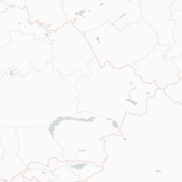




© OpenStreetMap, CARTO
Buyuk Ipak yoʼlining yuragi | The heart of the Great Silk Road
Why visit
Visit Tashkent for archaeology and older urban layers, markets, streets, food, and public squares. Use Tashkent to connect cultural institutions with streets, food, public space, and nearby landscape rather than treating each stop separately. A good itinerary should stay selective. For Tashkent, choose the anchor first. The cafe, market, church, gallery, or evening event should follow from that location. In Tashkent, the route gains clarity when the spaces between formal stops are allowed to matter. If Tashkent has useful day trips or nearby landscape, use them to widen the context rather than to overload the schedule.
When to avoid
Summers are very hot, highs above 36°C in July, with stifling continental dry heat. Winters are sharp (lows around -3°C) and air pollution dips badly. Tap water is not safe to drink, use bottled. Photographing government buildings, military, or metro entrances can attract police attention. The metro interior is fine but be discreet. Carry your passport, random ID checks happen. Most major credit cards now work but cash (sum) helps at small bazaars.
