Vladivostok
RussiaBWh


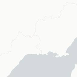






© OpenStreetMap, CARTO
|В|л|а|д|и|в|о|с|т|о|к| | ||| | |в|л|а|д|е|й| |в|о|с|т|о|к|о|м| ||| |V|l|a|d|i|v|o|s|t|o|k| | ||| | |r|u|l|e|r| |o|f| |t|h|e| |E|a|s|t| | ||| | |c|i|t|y|'|s| |l|i|t|e|r|a|l| |n|a|m|e| |m|e|a|n|i|n|g|
Why visit
Visit Vladivostok for markets, streets, food, and public squares, landscape, water, gardens, and nearby routes. The value of Vladivostok is clearest when museums, streets, religious buildings, markets, food, and nearby landscape are read together. A good itinerary should stay selective. Use one main anchor in Vladivostok, then build outward only to places that sit naturally nearby. In Vladivostok, the route gains clarity when the spaces between formal stops are allowed to matter. For Vladivostok, nearby landscapes and day trips should explain the city, not turn the itinerary into transit work.
When to avoid
Most Western governments advise against travel to Russia post-2022, sanctions, restricted flights, payment-card issues, and consular limits make any visit hard. Check current advisories. The summer wet/foggy season can blanket the city in mist for days. A route through Vladivostok needs enough margin for hours and delays to change. In Vladivostok, Sundays, holidays, traffic, queues, or cross-town transfers can change the day quickly.
