Photos from Tenerife
 +1
+1AluaSoul Orotava Valleyhotel
 +1
+1El ricón de Diegorestaurant
 +1
+1Sendero de los Sentidospark

La Taperíarestaurant
+1+1+1Current conditions and the practical reference material that helps turn the saved places into a trip.
7-day forecast from Open-Meteo. UV badges flag days when sun protection matters (3 and above is moderate; 8 and above is risk territory for unprotected fair skin within 30 minutes).
Typical highs around 21°C, lows around 19°C.
Public holidays from Nager.Date.
Public-transit operators within 8 km of the city center. Click through to each operator’s site for routes, fares, and tickets.
Operators and modes are aggregated from individual transit-agency GTFS feeds. Route classifications come from each feed’s route type codes.
The links below support the changing or licensed reference material on this page. Personal notes and ordinary geographic facts are not footnoted individually.
Maps, image licenses, and the full dataset registry are listed in site credits.
Monthly highs, lows, rainfall — long-term averages, NASA POWER.
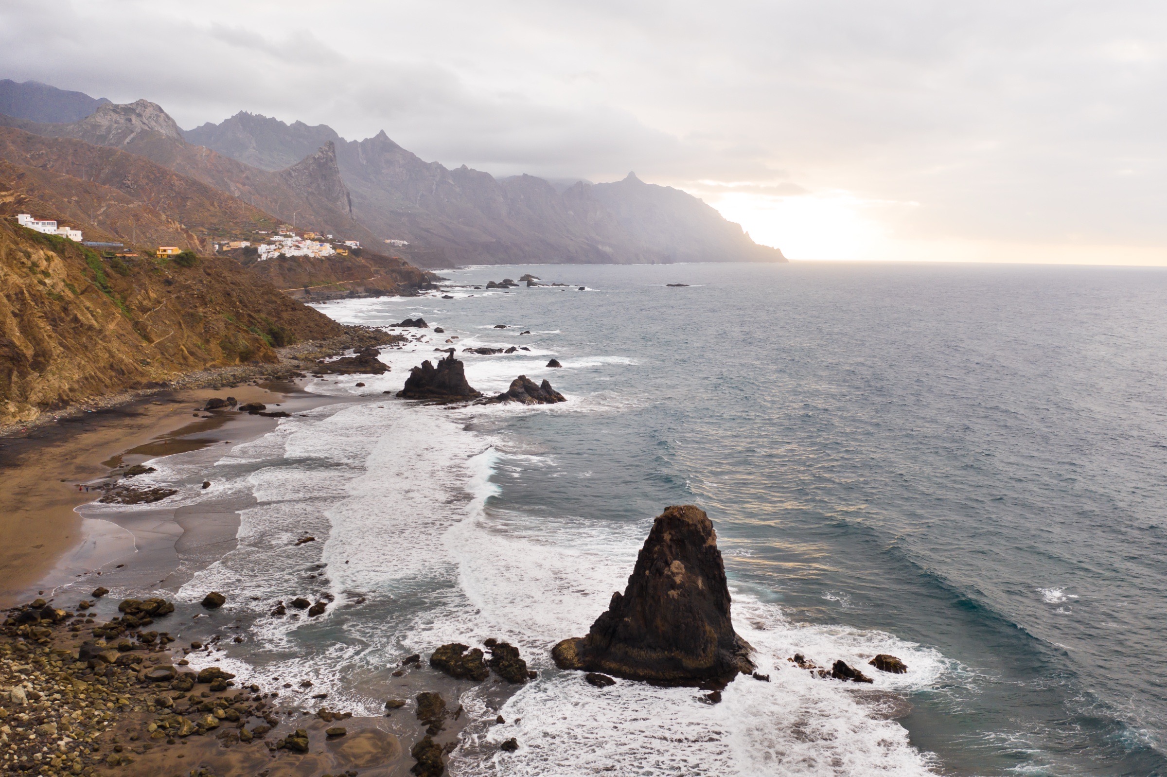
My Tenerife travel guide. Choosing the north or south, Mount Teide, Anaga, Carnival in Santa Cruz, and the two airports.
Tenerife is the largest of the Canary Islands. The south has the big beach resorts and the busiest international airport. The north is cooler and greener, with Puerto de la Cruz, La Orotava, and La Laguna. Mount Teide stands in the middle.
Tenerife has two airports: Tenerife South (TFS) for the resort coast and most international flights, and Tenerife North (TFN) for inter-island and some peninsular Spain flights. The right one depends on where you are staying.
| Mode | What it is useful for |
|---|---|
| Rental car | Teide, Anaga, the north coast, and changing bases |
| TITSA bus | Both airports and the main coastal towns |
| Pre-booked transfer | Direct transport to a resort hotel |
| Taxi from the rank | A direct ride without collecting a rental car |
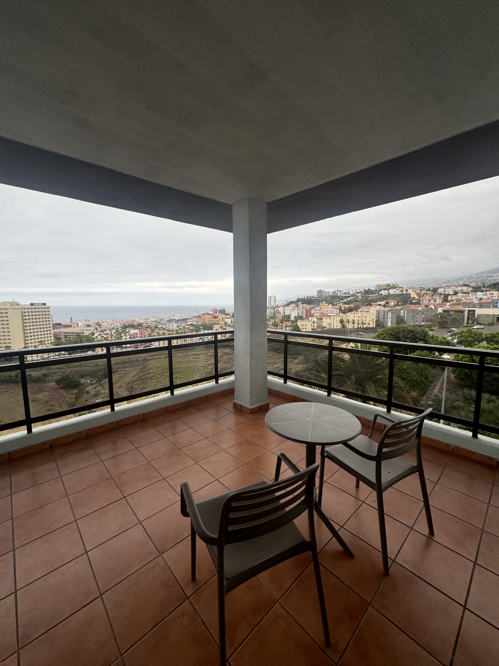
Use the south for the big resorts and the shortest transfer from Tenerife South. Use the north for Puerto de la Cruz, La Orotava, La Laguna, Anaga, and easier access to the older towns.
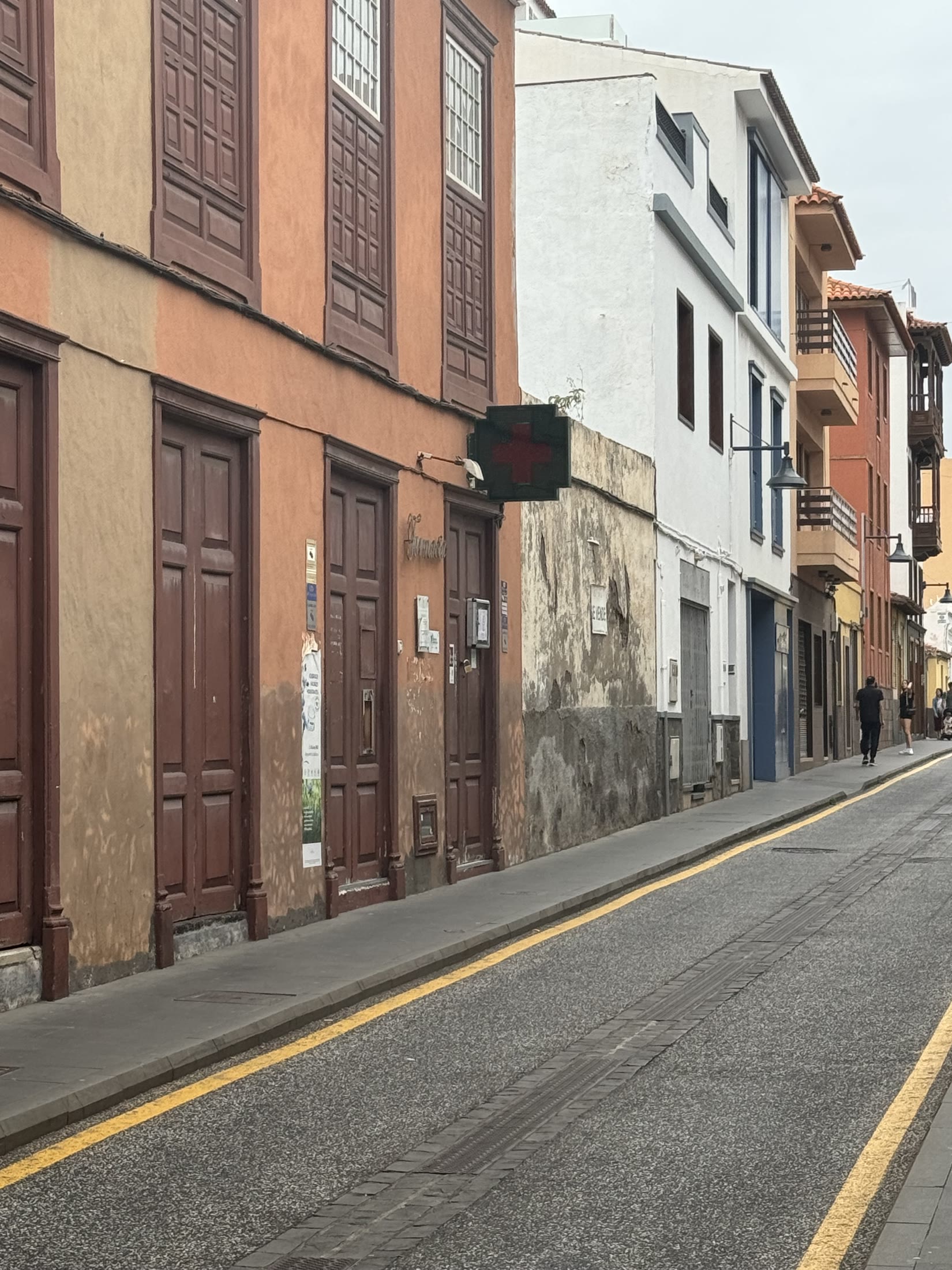
My bias is north when I want to see the island and south when I want the beach and a pool. You can drive across Tenerife, but mountain roads and traffic make the map look quicker than it is.
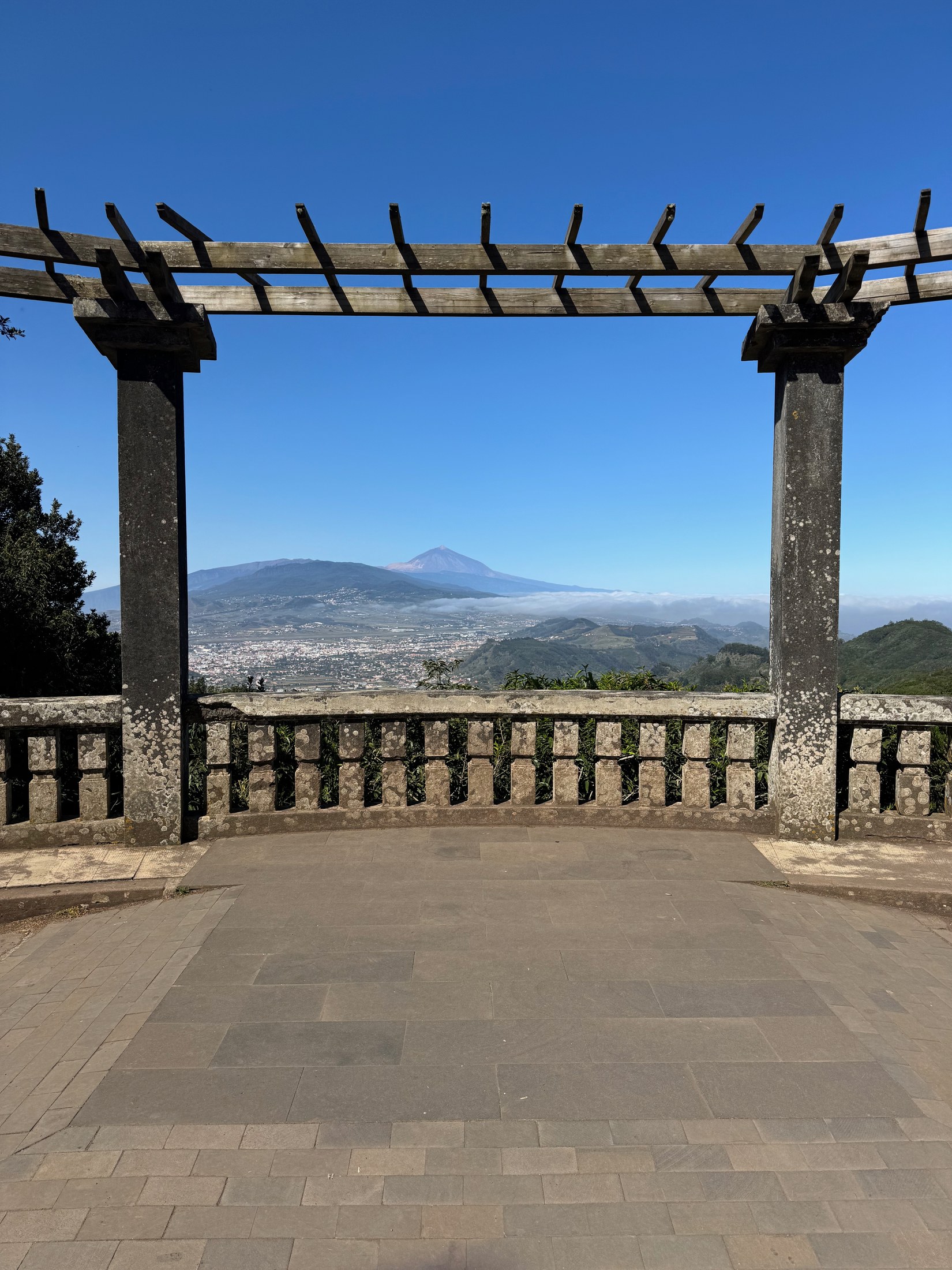
Sendero de los Sentidos is a short Anaga walk through laurel forest with viewpoints over the ridge. Mount Teide is much higher and colder than the coast. Check the weather and road conditions, carry a layer, and arrange any required cable-car or summit access before driving up.
Tenerife's big calendar fact is Carnival in Santa Cruz. The rest is mostly local religious and village festivals.
| Event | When | What it changes |
|---|---|---|
| Santa Cruz Carnival | February | North-coast hotels rise sharply. The south coast feels it less |
| Corpus Christi sand carpets | May or June | La Orotava's plaza and streets are covered with volcanic-sand and flower designs |
| Romería de San Roque | Mid-August | La Orotava folk procession with carts, costumes, food, and wine |
| Virgen de Candelaria | August 14 to 15 | Patron-saint crowds at the Candelaria basilica |
| Virgen del Carmen | July 16 | Coastal boat processions in fishing towns |
| New Year's Eve | December 31 | Santa Cruz and southern resorts run separate party versions. Hotels are peak-priced |
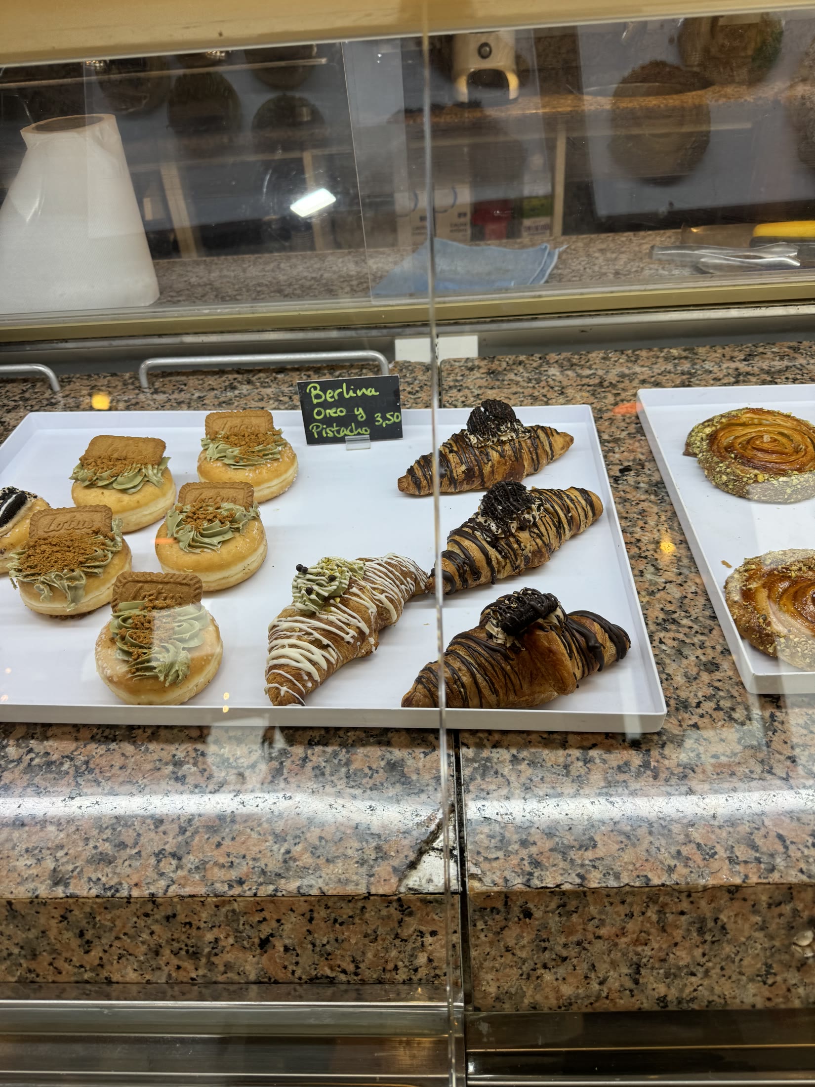
Canarian food has its own style inside Spanish cuisine: papas arrugadas (the salt-crusted small potatoes with mojo rojo and mojo verde sauces), gofio (the toasted-grain flour used for everything), fresh Atlantic fish, and the imported tapas-and-sushi side the resort visitor density built. The picks below mix the local with the international.
| Spot | Rating |
|---|---|
| La Tapería | 5/5 |
| Advans Crepería y Balkan Cuisine | Pinned |
| Baraka Café & Grill | Pinned |
| Bocados sushi bar | Pinned |
| El Panal Puerto de la Cruz | Pinned |
| El Rincón de Diego | Pinned |
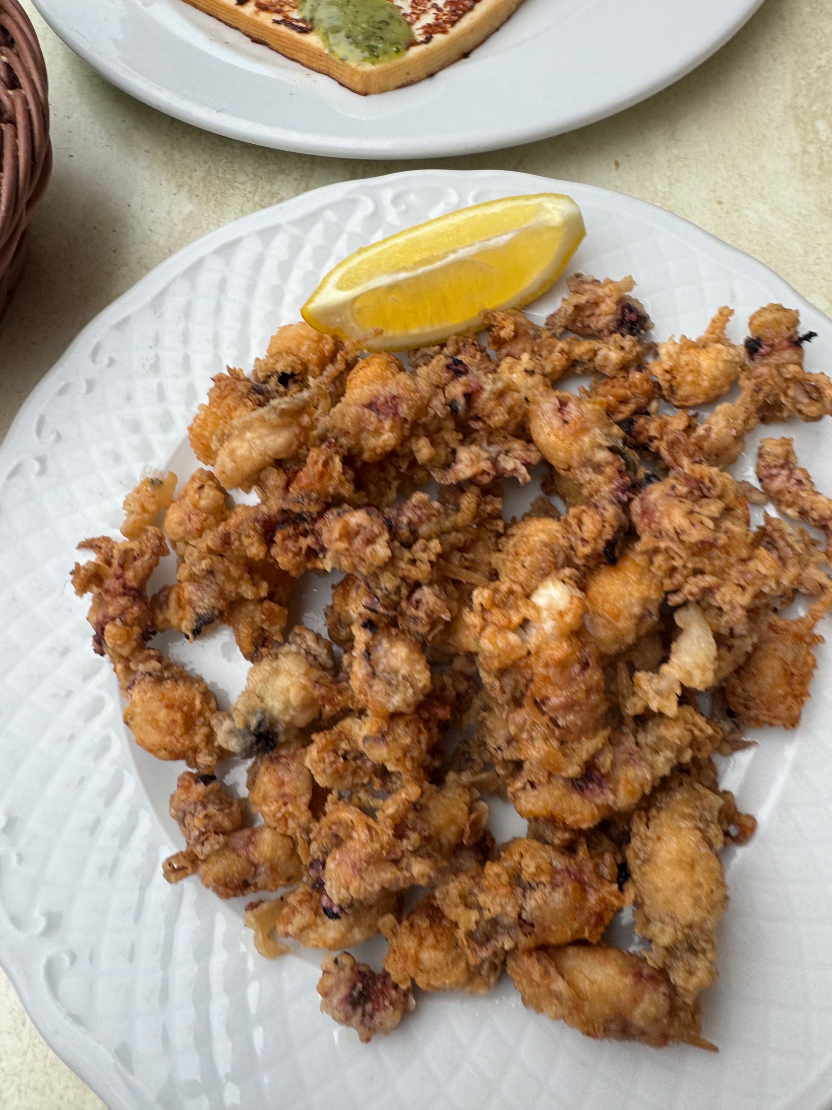
For the north-coast base, I would keep the food plan practical: La Tapería for the strongest saved pick, El Rincón de Diego when you want a more classic sit-down dinner, then use the bakery and tapas counters for the small meals between drives.


