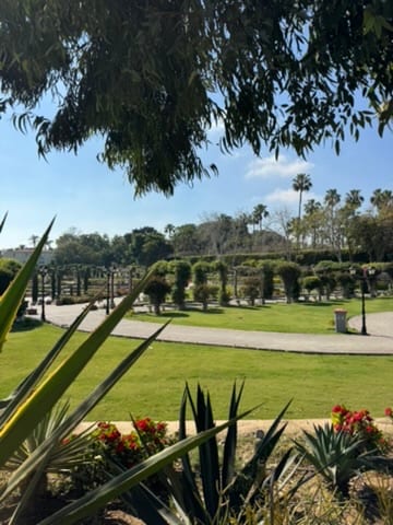
"Iskandariyya, durrat al-bahr al-mutawassit | Alexandria, pearl of the Mediterranean"
Alexandria is Egypt's Mediterranean city: sea walls, Coptic churches, cafes, libraries, Roman remains, and a different rhythm from Cairo. It works when the Egypt trip needs coast and urban history together.
Alexandria can disappoint visitors expecting a polished Mediterranean city. Traffic, worn infrastructure, beach crowding, and ordinary urban mess sit beside the literary and ancient associations. The Corniche is useful for orientation, but it is not a quiet promenade in the European resort sense. Scams and overcharging are less intense than at the Giza pyramids but still possible. Summer can be crowded and humid, while winter storms can make the seafront unpleasant. Treat Alexandria as a layered working city, not a museum of vanished cosmopolitanism.
Current conditions and the practical reference material that helps turn the saved places into a trip.
7-day forecast from Open-Meteo. UV badges flag days when sun protection matters (3 and above is moderate; 8 and above is risk territory for unprotected fair skin within 30 minutes).
Typical highs around 33°C, lows around 22°C. The drier end of the year.
Typical highs around 20°C, lows around 11°C. Most of the year’s greyest, wettest weeks.
Public holidays from Nager.Date.
Public-transit operators within 8 km of the city center. Click through to each operator’s site for routes, fares, and tickets.
Operators and modes are aggregated from individual transit-agency GTFS feeds. Route classifications come from each feed’s route type codes.
Alexandria is a major city in Egypt. Lying at the western edge of the Nile River Delta, it extends about 40 km (25 mi) along the country's northern coast. It is Egypt's principal seaport, the second largest city after Cairo, and the largest city on the Mediterranean coast. Founded in 331 BC by Alexander the Great, Alexandria is one of the largest and most important cities of antiquity.
The links below support the changing or licensed reference material on this page. Personal notes and ordinary geographic facts are not footnoted individually.
Monthly highs, lows, rainfall — long-term averages, NASA POWER.
Maps, image licenses, and the full dataset registry are listed in site credits.