Portsmouth

Southsea Hoverporttransit
 +2
+2Boathouse 4attraction
 +1
+1HMS Warriorattraction

Hovertravel | Southseatransit
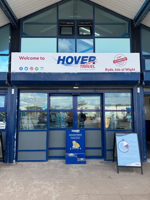
Hovertravel | Rydetransit
Heaven's light our guide | Lux Caeli Dux Noster
Why visit
Portsmouth is an essential stop for naval and maritime history. The Historic Dockyard (a full day's visit) lets you climb aboard HMS Victory, walk through the recovered Tudor hull of the Mary Rose in its purpose-built museum, and explore HMS Warrior. The Spinnaker Tower's glass-floored viewing deck overlooks the Solent and Isle of Wight ferries. Take the Hovercraft, the world's only commercial passenger hovercraft service, to Ryde on the Isle of Wight, walk Old Portsmouth's cobbled streets to the Camber harbour, or visit the Charles Dickens Birthplace Museum.
When to avoid
Portsmouth's reputation as a working-class navy town comes with rough edges, the Guildhall Square and Commercial Road areas can get rowdy on Friday and Saturday nights with sailors on shore leave and stag parties. Skip Southsea seafront in winter when biting Solent winds make it bleak. Major football matchdays at Fratton Park bring tense crowds, avoid wearing rival colors. The dockyard is closed on Christmas and Boxing Day.
